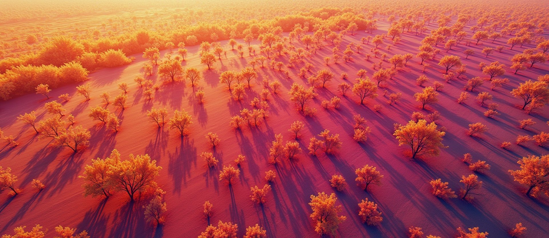
Agricultural Thermal Diagnostics
We map crop stress and irrigation anomalies across thousands of California acres. Precise aerial thermography prevents yield loss and guides resource allocation with calibrated radiometric data.
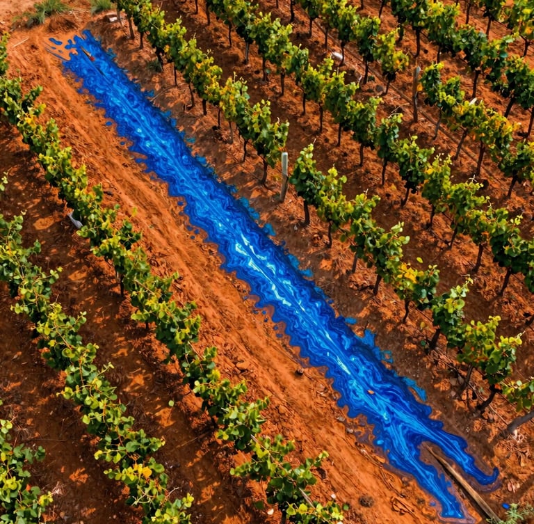
Sub-surface Irrigation Anomalies
High-resolution orthomosaic maps pinpoint hidden blockages, line leaks, and soil drainage failures. We scan entire orchards in a single flight, delivering actionable water management data.
Water Resource Optimization
Identify localized over-watering and dry zones before they impact crop health. Our calibrated radiometric sensors detect moisture variations that are completely invisible to standard optical cameras.
Every scan is conducted by an FAA Part 107 certified thermographer, ensuring compliant, high-accuracy flight data for commercial farms and golf courses.
Prevent Early Crop Loss
Early-stage stress detection allows targeted intervention before visible damage occurs. Our radiometric data helps operators protect yield and reduce costly resource waste.
Crop Stress Detection
Drainage Assessment
Resource Allocation
Locate transpiration anomalies and canopy temperature spikes that indicate early-stage disease or root stress.
Map soil compaction and pooling water across complex topography to optimize tile drainage and grading plans.
Direct fertilizer, water, and labor only where the thermal data indicates stress, saving thousands in input costs.
Protect your seasonal yield and optimize water usage with scheduled aerial scans. Contact our Modesto headquarters to arrange a radiometric flight over your acreage.